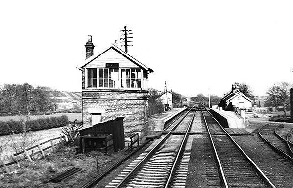
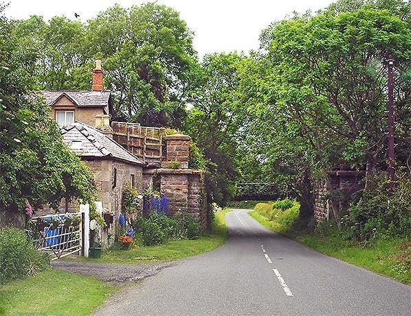
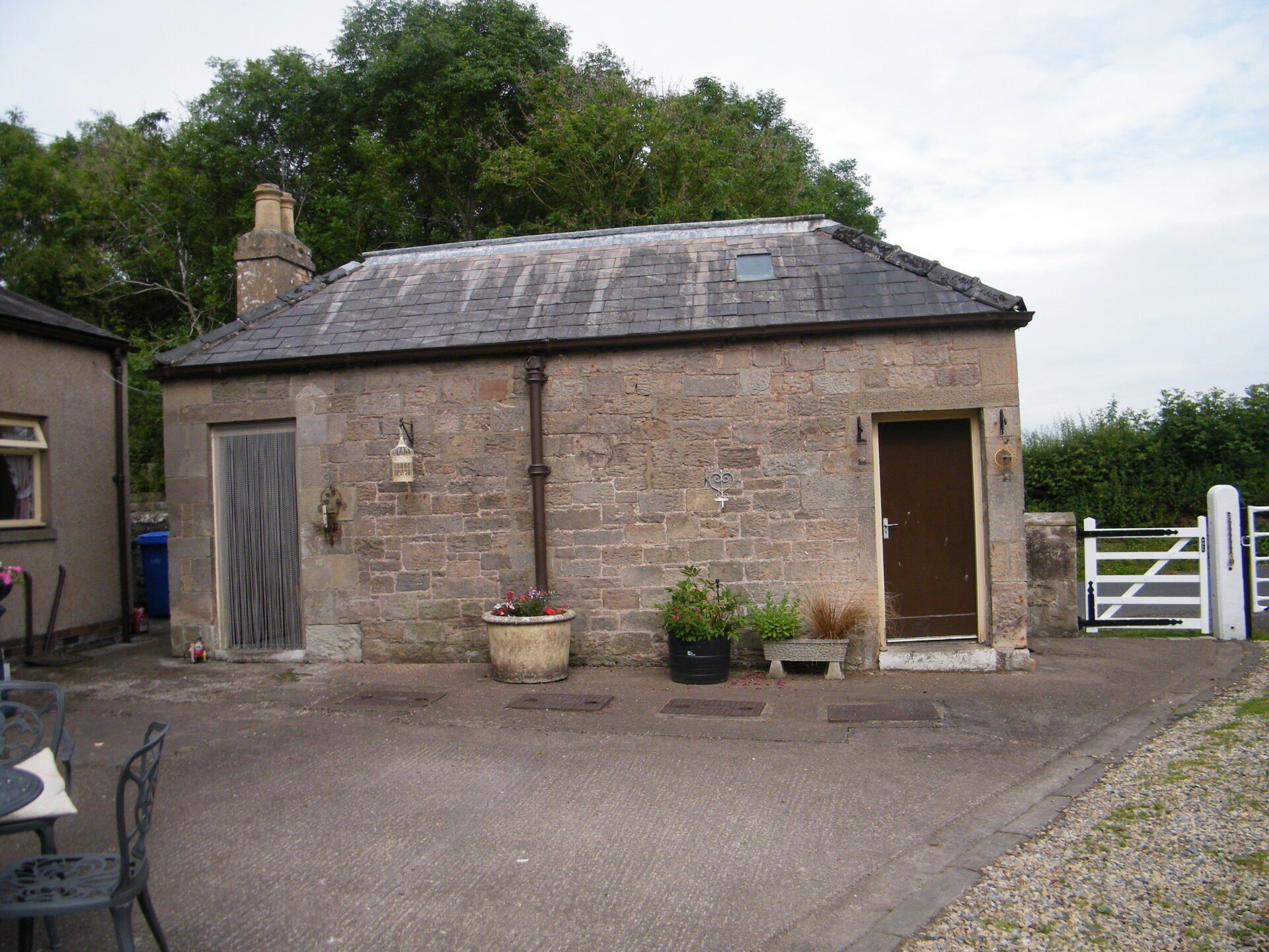
Norham is relatively large for a rural station with a number of stone and wooden buildings each with it's own specific purpose with additions and alterations from the original structures built during the 1850's carried out to cope with the increase in demand.

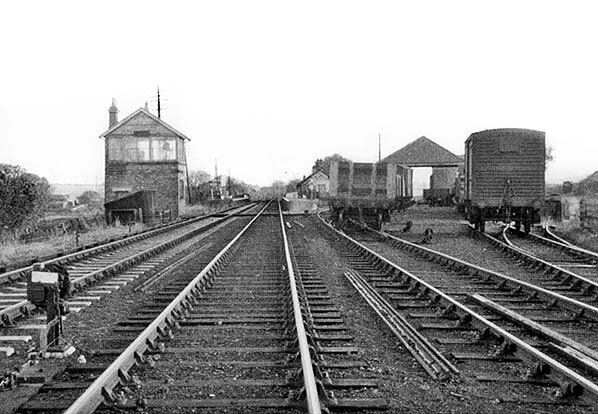
As a result of the station's importance, operating as a goods yard and distribution centre, there was by necessity a number of track spurs to loading and unloading locations.

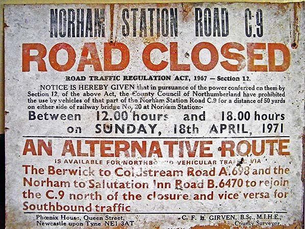
Since the tracks were all removed shortly after the line's closure in 1965, the only evidence remaining of their existence are the

passenger and cargo platforms.

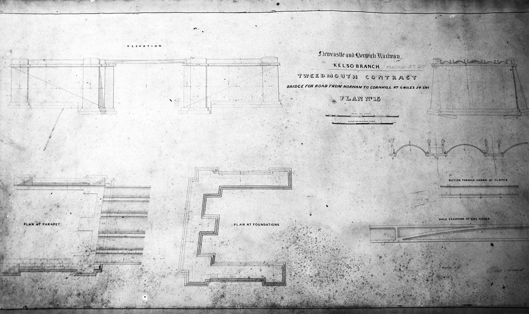
Luckily through researching the few historical books and photgraphs made available to us,

we have been able to build a reasonably clear view of the station complex that will help you understand the complete layout.

The track plan is based on Norham Station circa 1960 and is NOT to Scale.
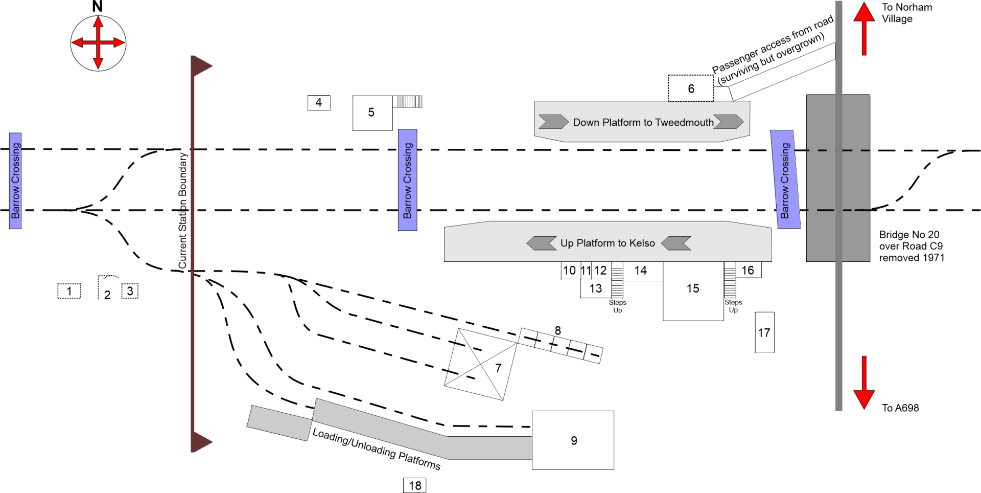
Key

1 - Trackside Shed, Removed Mid 1960's

2 - Loading Gauge, Removed Mid 1960's

3 - Trackside Shed, Removed Mid 1960's

4 - Workmans Hut, surviving

5 - Signal Box, surviving

6 - Ladies Waiting/Powder room, Removed 1950's

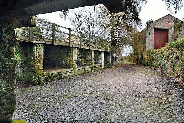
7 - Lime Cells, surviving

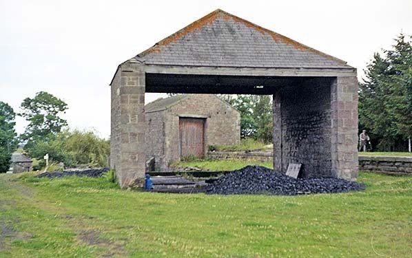
8 - Coal Cells, surviving

9 - Goods Shed, surviving

10 - Passenger Warehouse, surviving

11 - Gentlemens Outside Toilet, surviving

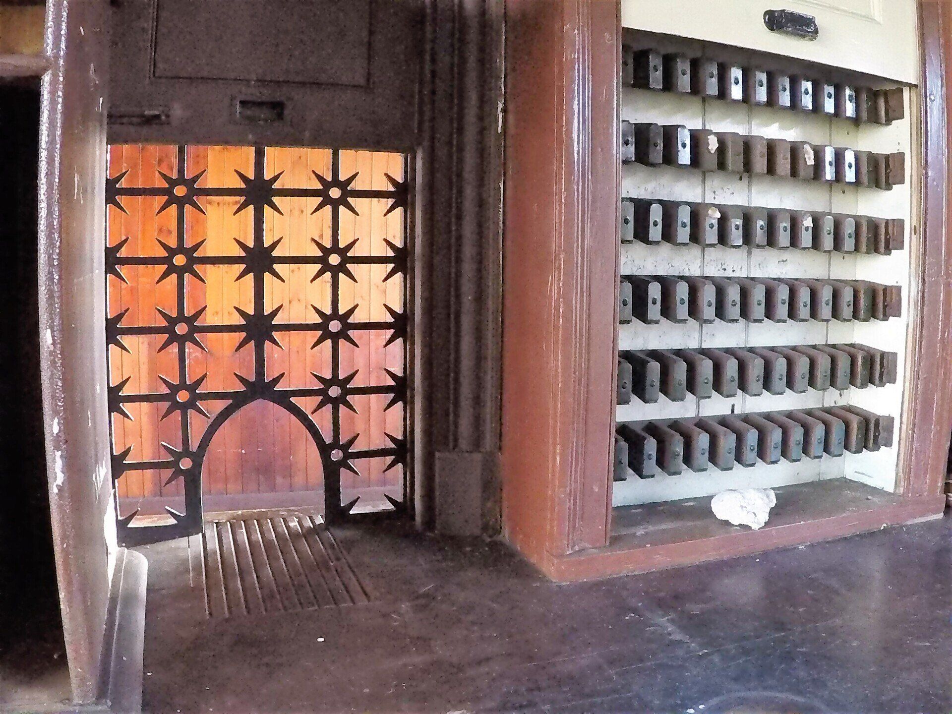
12 - Porters Rooms, surviving

13 - Weighbridge/Office/Stable, converted to washrooms 1972

14 - Station Master/Booking Offices, surviving

15 - Station Masters House, surviving

16 - Platform Storeroom, surviving

17 - Washouse/Toilet, surviving


Many thanks to the photographic contributions made by th collections of Alan Young, Roy Lambert, Ken Hoole, H.C. Casserlev and J.F. Mallon


  • Ordnance Survey map Circa 1924

    Ordnance Survey map Circa 1924.

    Button
  • Slide title

    Branch line route map.

    Button
  • Slide title

    Line heading East with Sheds and Loading Gauge on right side.

    Button
  • Slide title

    Line heading West with Branch Spurs on Left Side.

    Button
  • Slide title

    Line heading East with Signal Box and Workmans Hut.

    Button
  • Slide title

    Signal Box Post Line Closure.

    Button
  • Slide title

    Line heading East with Branch Spurs to Lime Cells and Coal Drops on right side.

    Button
  • Slide title

    Lime Cell with Goods Shed in Background.

    Button
  • Slide title

    Coal Drops to Left Side, Goods Shed to Right Side.

    Button
  • Slide title

    Heading North on Road C9 (Now Cycle Route 68) with Bridge No 20 Abutments.

    Button
  • Slide title

    Public Notice of Road Closure to remove Bridge No 20, 18th April 1971.

    Button
  • Slide title

    Original Bridge No 20 Construction Plans.

    Button
  • Slide title

    Original Bridge No 20 Construction Plans.

    Button
  • Slide title

    Public and Staff access steps to Platforms, note luggage/cargo slide to Right Side.

    Button
  • Slide title

    Booking Office and Station Masters Office located on the UP Platform.

    Button
  • Slide title

    View from inside Station Masters Office through to Booking Office with Ticket Rack and Security Grill.

    Button
  • Slide title

    Inside Station Masters Office, note the Cast Iron coal burner on the Left.

    Button
  • Slide title

    Gentlemens Outside Convenience.

    Button
  • Slide title

    Goods Shed viewed from UP Platform, note Track entrance Door on Right Side.

    Button
  • Slide title

    Rare view taken from Bridge No 20 heading West, note Ladies Waiting Room on Right Side.

    Button
  • Slide title

    Wash House and Toilet Building adjacent to Station Entrance.

    Button
Share by: